The International Monetary Fund has published some of the most peculiar econometric research in recent history in Irrational Exuberance in the US Housing Market: Were Evangelicals Left Behind? In it, Christopher Crowe associates the financial behavior of Evangelical Protestant Christians with more stable US markets during the housing bubble. It is well known that the housing bubble was concentrated in some metropolitan areas and largely missed others, such as Dallas-Fort Worth, Atlanta, Houston, Indianapolis and many others, most of them with stronger underlying demand than in the metropolitan areas with huge house price increases. Crowe's research raises the possibility that Evangelicals kept house prices down by not speculating, due to their religious beliefs.
Evangelicals generally believe in missionary and conversion activities and tend to hold to beliefs that were largely liberalized in large portions, but not universally in the "mainstream" Protestant churches (such as Episcopal, United Church of Christ, Lutheran, Presbyterian, Methodist, Baptist and Disciples of Christ churches) during the first half of the 20th century. In recent decades, Evangelical churches have grown strongly, Evangelical membership is now 50% greater than that of "mainstream" Protestantism (even with its Evangelical remnants), which has been relegated to "mainstream" in name only.
The Crowe thesis is generally that Evangelicals, allegedly with an "intense" belief in "end times" theology (such as the "imminent" return or the "second coming" of Jesus Christ) were less inclined to speculate in housing, which kept house prices from rising strongly in metropolitan areas with larger concentrations of Evangelicals.
There are some rather substantial difficulties with the thesis.
The first problem is relates to speculation. Rising prices are needed for there to be any incentive to speculate. If, for example, the numerous Evangelicals in Dallas-Fort Worth had undertaken a furious speculative frenzy, prices would not have gone up, instead more houses would have been built. This is because the liberal land use regime in Dallas-Fort Worth permits housing to be built in response to demand and nullifies any potential for speculative gain. Evangelicals, of course, like Catholics, Mainstream Protestants, Jews and Atheists are not stupid and were no more inclined to speculate on housing in the plentiful Dallas-Fort Worth market than they would have been climb over one another to offer higher prices for sand on the beach.
Another difficulty is that Crowe's characterization of Evangelical beliefs is a caricature. In fact, the nation's 40 million Evangelicals, including 15 million Southern Baptists more than 2 million Missouri Synod Lutherans, more than 1 million members of the African Methodist Episcopal Zion Church, non-denominational megachurch members and others behave similarly to other Americans in the economic sphere. Crowe hypothesizes that "that a belief in the end times reduces incentives to save simply because agents put a lower expectation on the future being realized." It would have been equally reliable to conjecture on the subsurface geology of an undiscovered planet.
 Evangelicals like nice houses. They like nice cars. They like their children to be well clothed and to go to good schools. They do not refuse raises offered by their bosses because they expect shortly to be caught up into heaven like the prophet Elijah. True, some "end times" Christians have sold their property and trekked to mountaintops or otherwise awaited dates wrongly prophesied by their leaders. It happened in 1844 and in 1914, but these were not Evangelicals.
While Crowe’s research suggests an Evangelical stabilizing effect on housing markets, an opposite, but no less improbable thesis was advanced in an Atlantic Monthly article entitled "Did Christianity Cause the Housing Crash?" This article suggests that the "prosperity" gospel preached in some Evangelical churches led parishioners to take on obligations they could not afford, leading to the bursting of the bubble, though it is mercifully devoid of spurious regressions. Author Hanna Rosin names names, such as Joel Osteen of Houston's Lakewood Church and Rick Warren, whose Saddleback Church in Southern California hosted President Obama as a candidate. It would not be surprising if a future article in The Atlantic pontificated about abandoned suburban megachurches.
One can only wonder what the other nearly 90 percent of Americans were doing while Evangelicals were simultaneously causing and preventing the housing bubble.
Wendell Cox a contributing editor of newgeography.com is the son of an Evangelical clergyman (Pentecostal), became Presbyterian and later an Episcopalian.
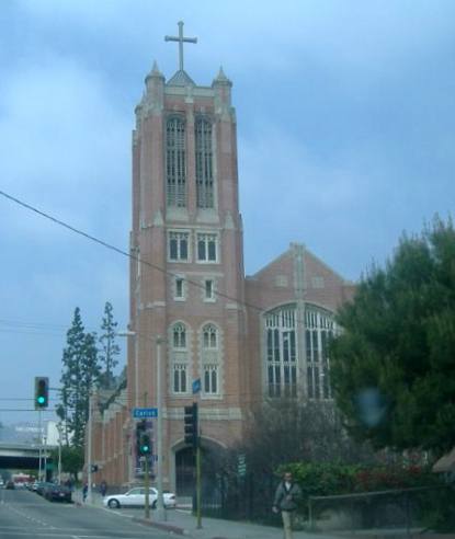
Photo: Hollywood Presbyterian Church: An Evangelical Church in a Mainstream Protestant Denomination (by the author).


