
Madrid is the capital of Spain, as well as its largest built-up urban area, with an estimated 6.4 million population in 2018. Madrid’s urban area plus economically connected rural and small town areas make up the metropolitan area, which has nearly 7,000,000 residents. The area has an urban population density of 4,700 per square kilometer (12,200 per square mile), ranking it third among the European Union’s built-up urban areas over 1,000,000 population. Only Athens (6,000 and 15,400) and London (5,800 and 14,600) are denser. London’s higher density may be surprising, given the preponderance of interwar detached and semi-detached erected outside inner London.
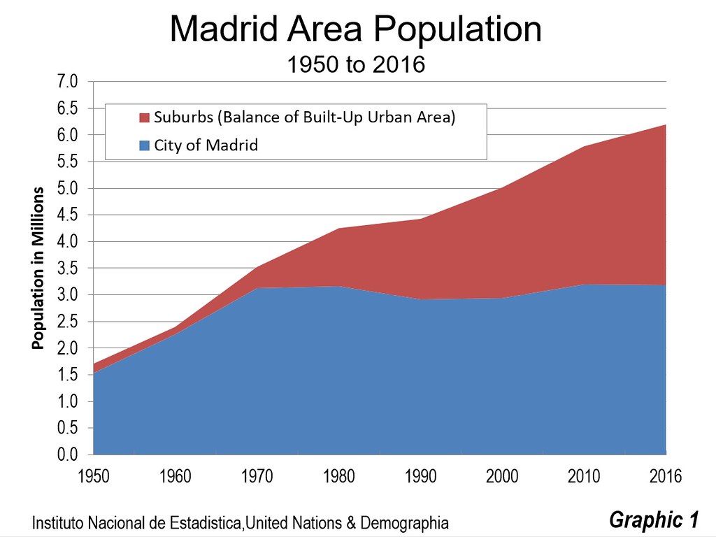
Like virtually all of the large built-up urban areas in the world, most of Madrid’s growth the last few decades has taken place outside the historic urban core (Graphic 1). The core city of Madrid itself reached nearly its present population level by 1970, with 3,120,000 residents. By 2011, the city had grown to only 3,198,000. This modest growth masks a substantial population loss of approximately 200,000 from 1970 to 1990.
Since 1970, the suburbs (areas in the urban area outside the city of Madrid) have captured nearly 98 percent of the population growth. Since 1990, when the city’s population had fallen to its recent low, the suburbs have attracted 85 percent of the population growth. In 1970, nearly 90 percent of the urban area population was in the city of Madrid. By 2016, the city share of the population had declined to 51 percent. It seems likely that suburban Madrid will soon have more residents than the city.
Commercial Centers
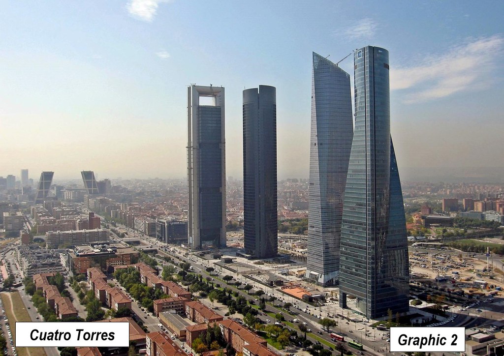
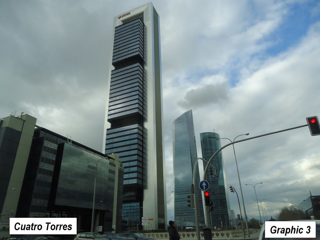
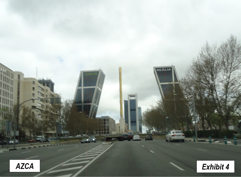
The financial core of Madrid has moved from the central business district, far to the north, to the adjacent AZCA (Asociación Mixta de Compensación de la Manzana A de la Zona Comercial de la Avenida del Generalísimo) and Cuatro Torres (four towers) business areas (Graphics 2 to 4). AZCA contains unconventional twin towers that lean toward one-another (the “Gates of Europe”). Cuatro Torres includes the tallest buildings in Madrid. They are not among the world’s tallest, peaking at 250 meters and 815 feet high, ranking below 450th in the world, according to The Skyscraper Center. Yet, they are unusually prominent visually, because of the lower building heights in the area, but especially because they are built near the highest elevation in the central area. As a result, they can be seen for many miles, well into suburban areas, in virtually all directions.
The dominance of these towers is well illustrated in the top photograph (by Eurostarshotel, credit at the bottom of the article), which is repeated for greater clarity as Graphic 2. This photograph shows the four towers, literally towering over virtually all other buildings in the city, with the leaning towers to the left.
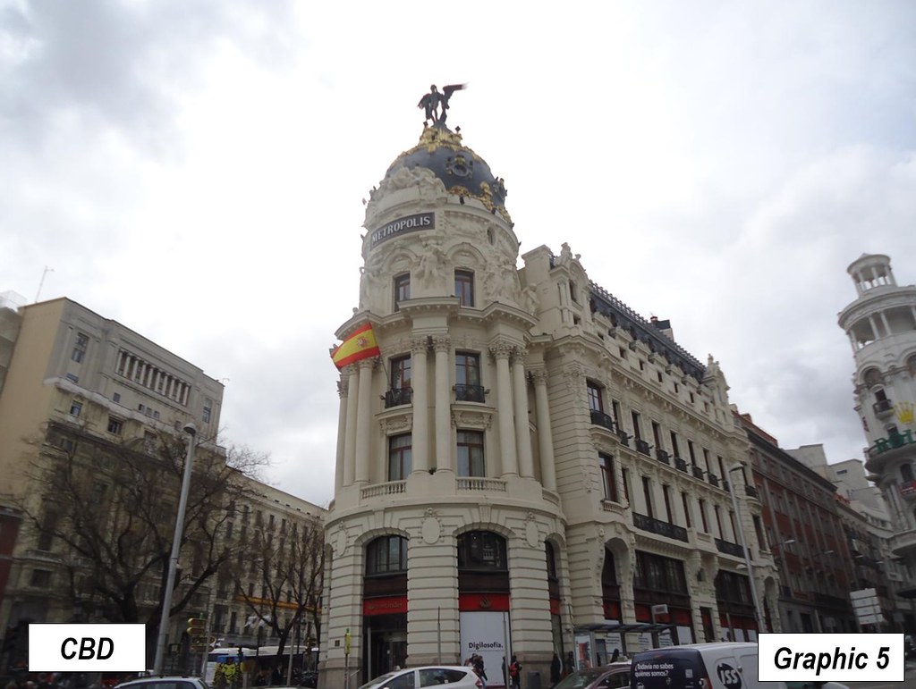
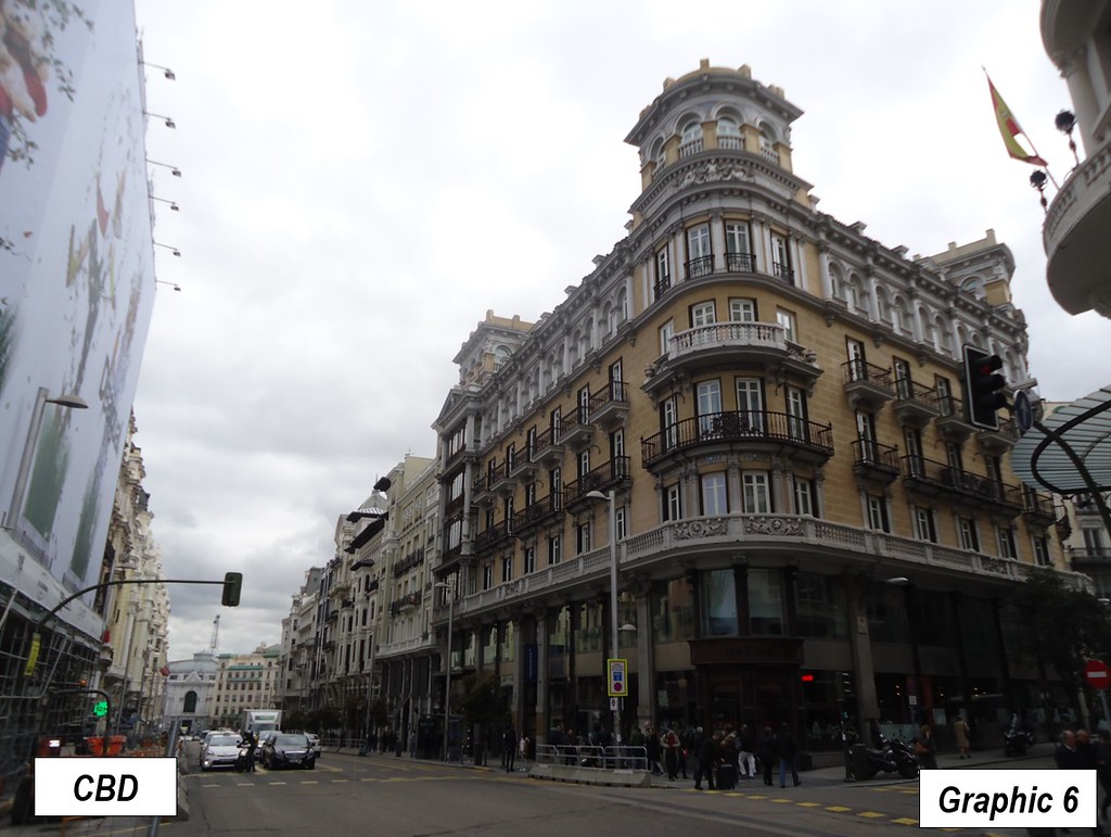
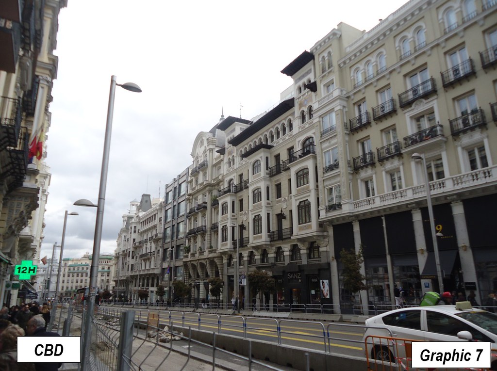
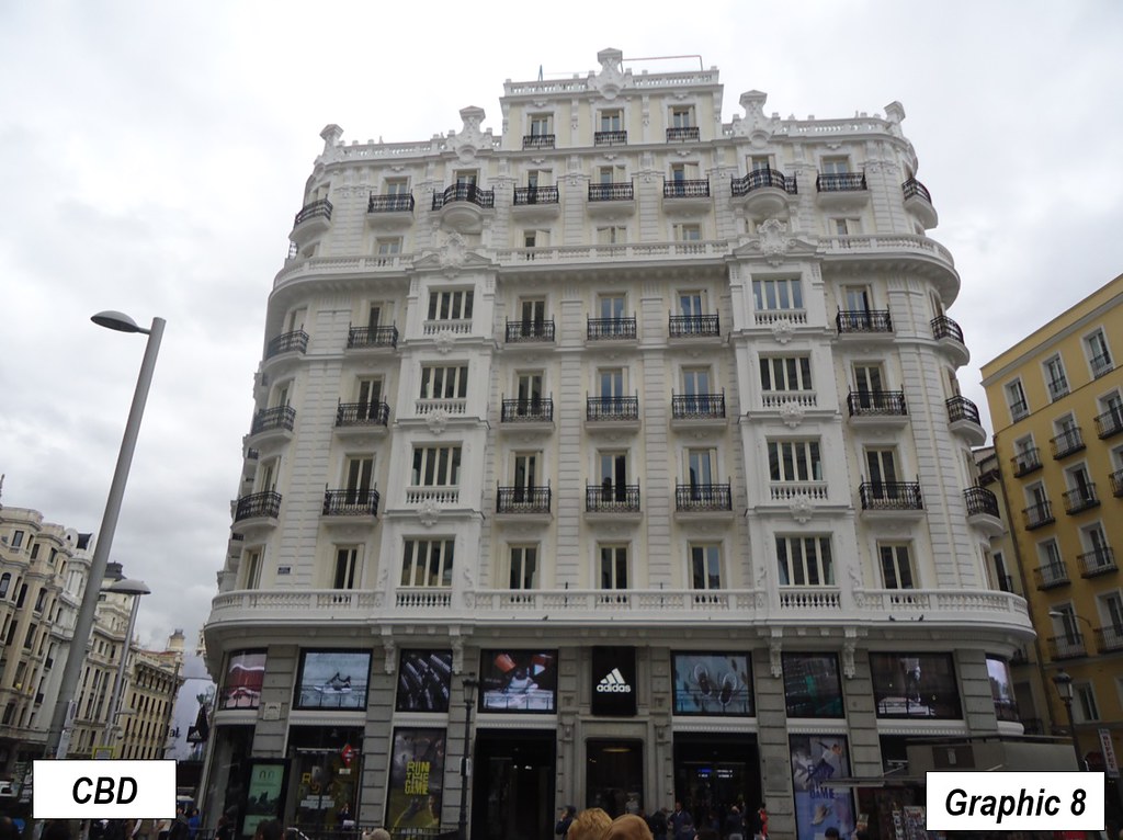
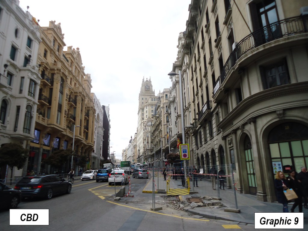
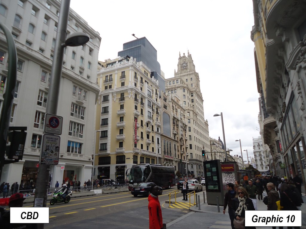
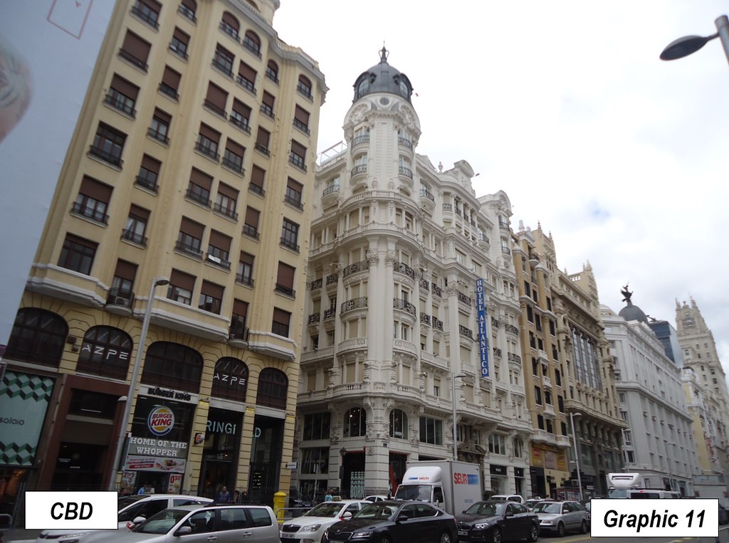
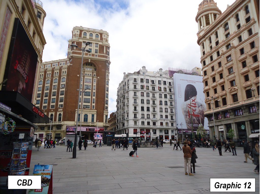
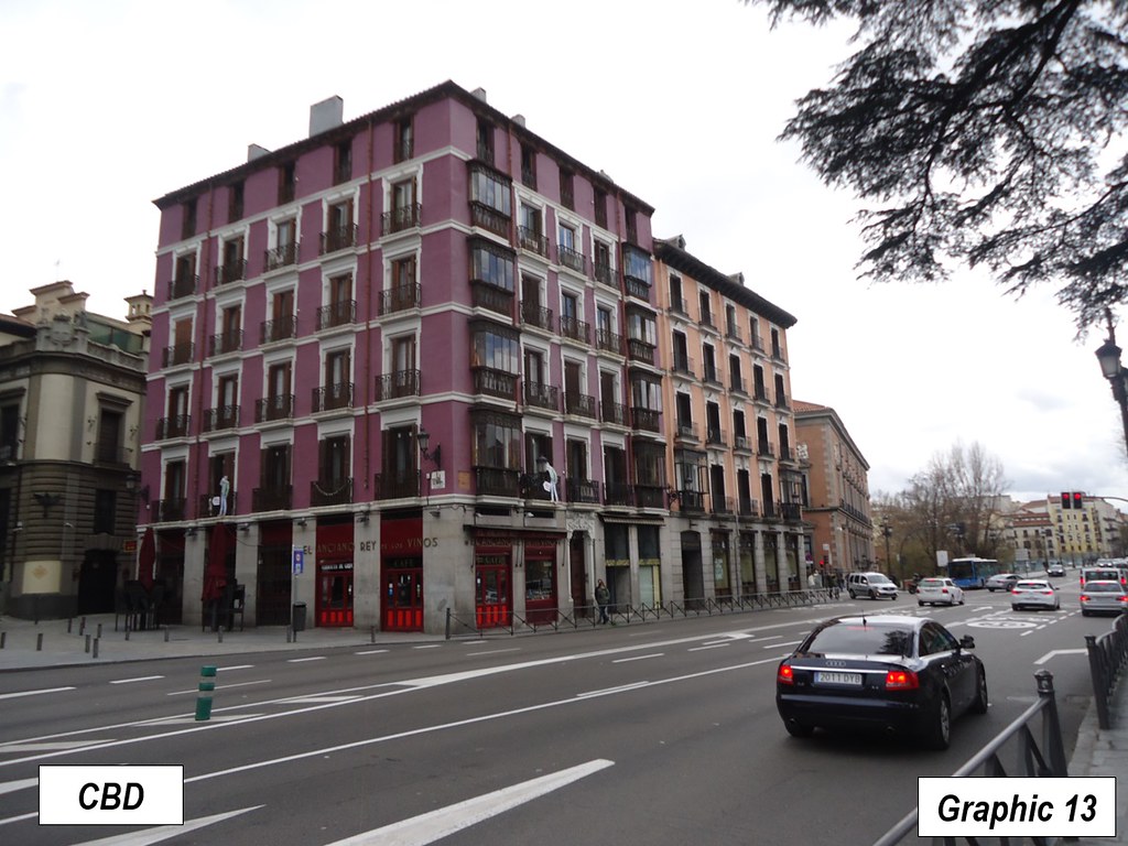
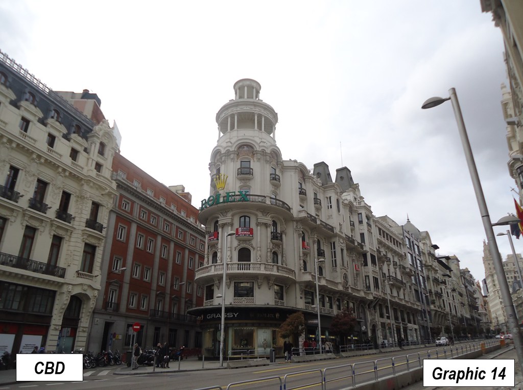
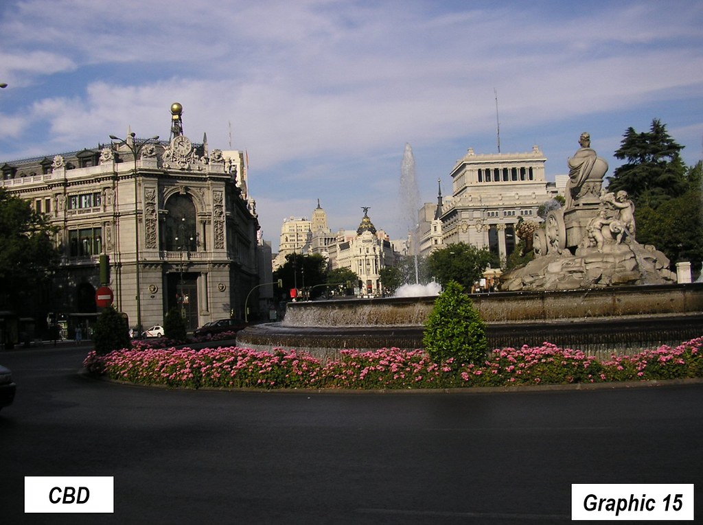
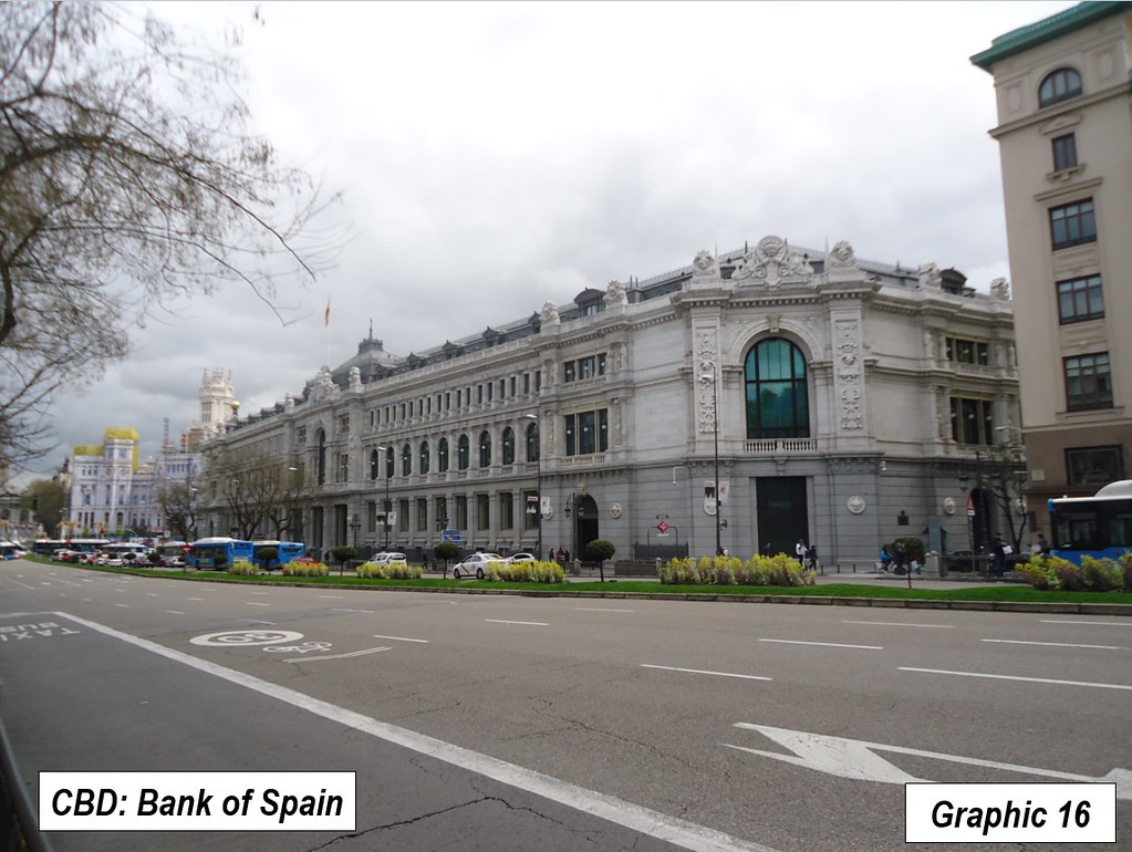
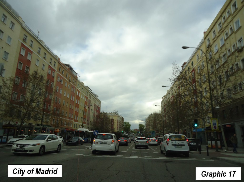
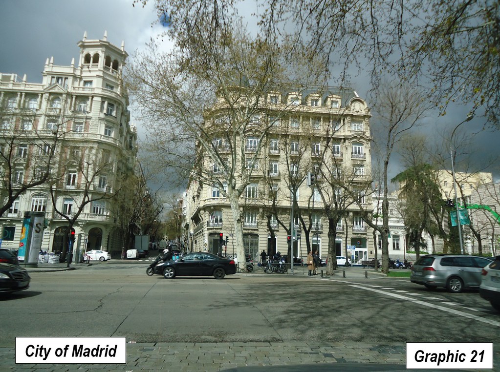
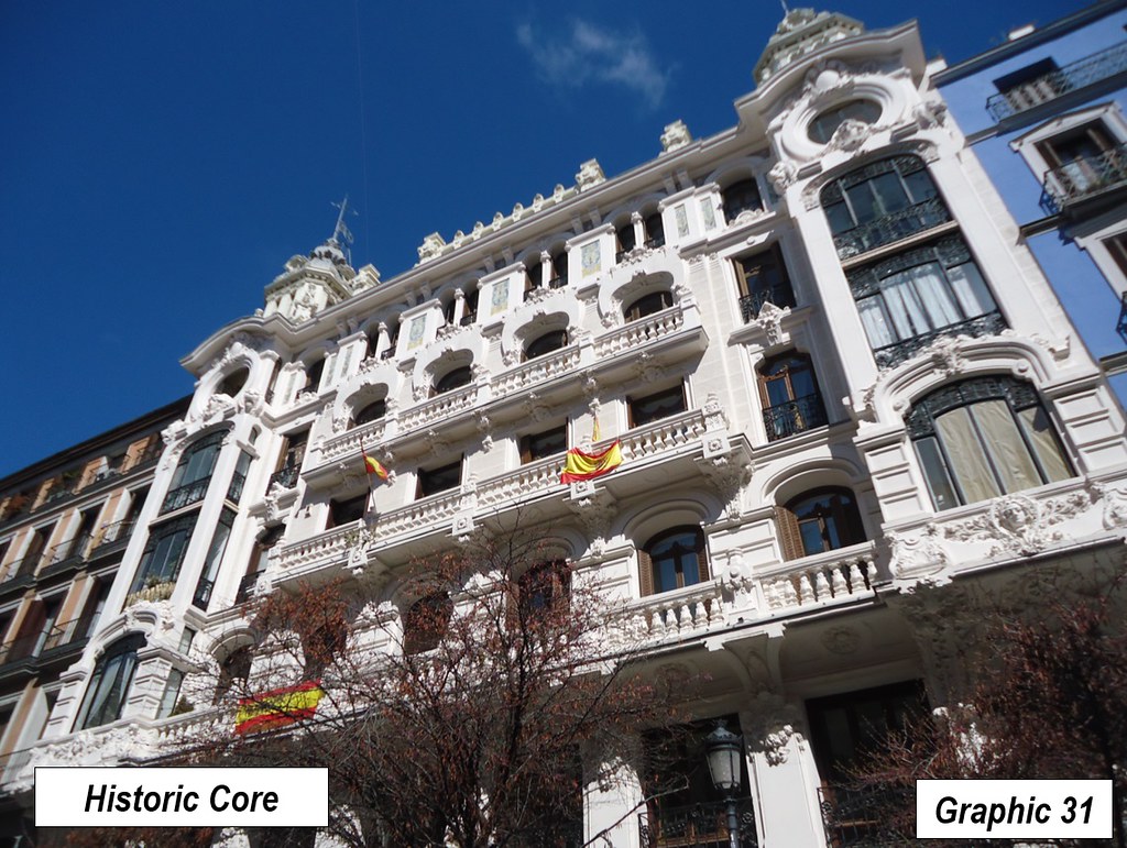
The central business district (CBD) has attractive architecture, much of it dating to the early 20th century and before (Graphics 5 to 16) . I was reminded of the similar architecture of central Buenos Aires, though it is more extensive in Madrid.
Madrid is not unusual in having moved its principal financial center from the historic central business district. Mexico City, Sao Paulo, Istanbul, Moscow and Manila have established one or more larger centers with the historic core declining in importance, while Mumbai appears to be undertaking the same thing with the development at Bandra-Kurla.
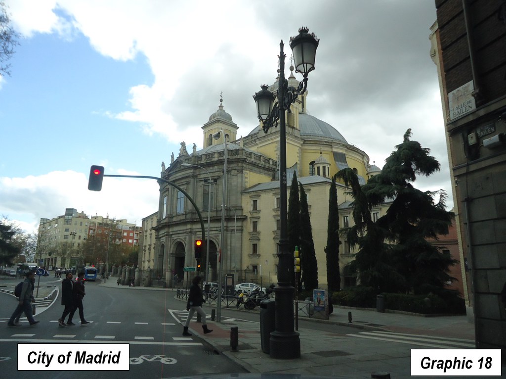
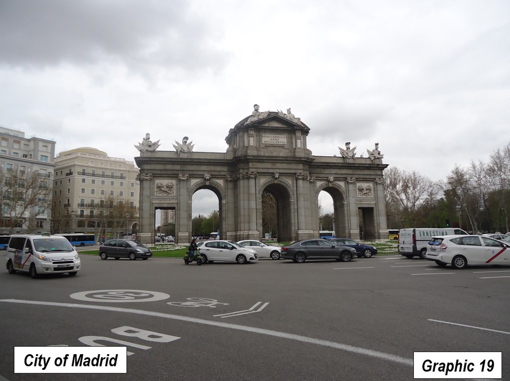
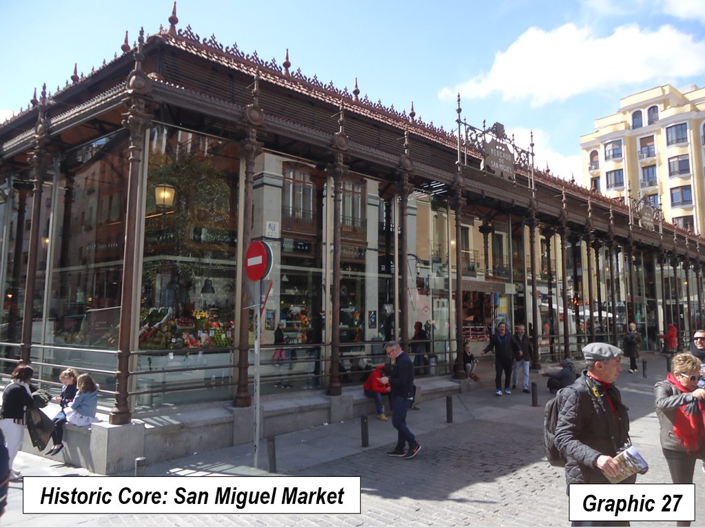
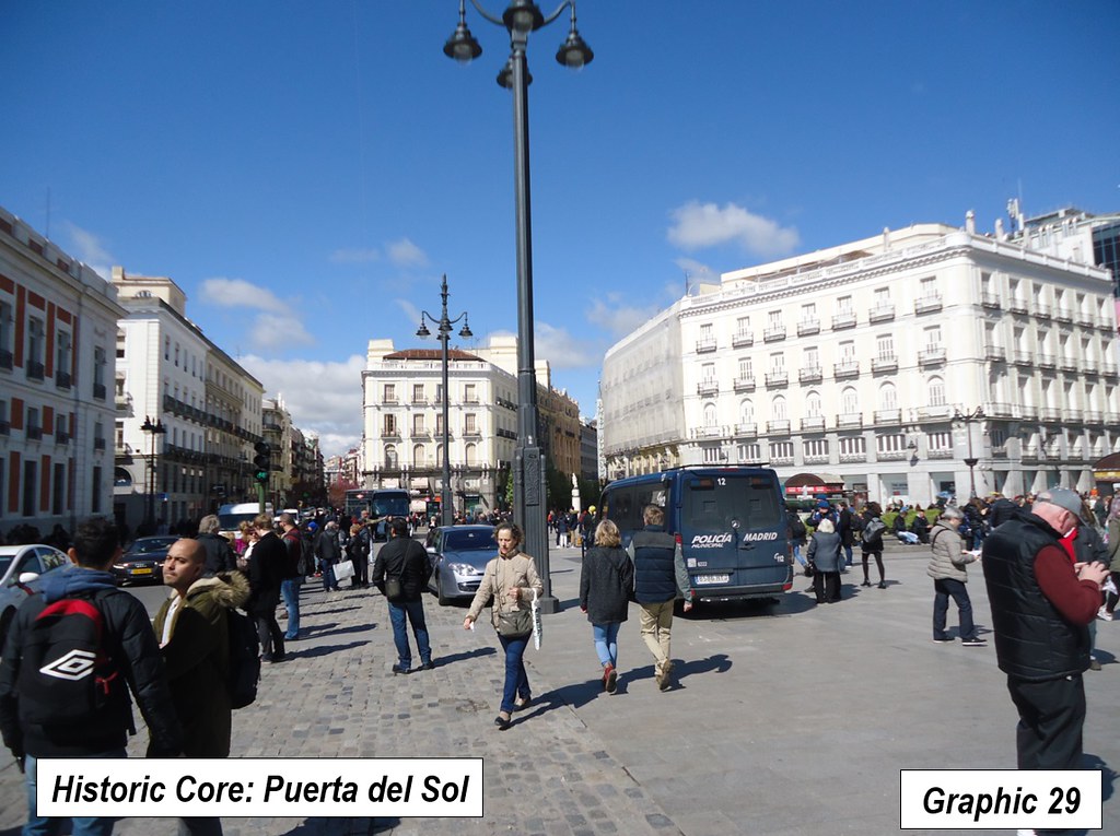
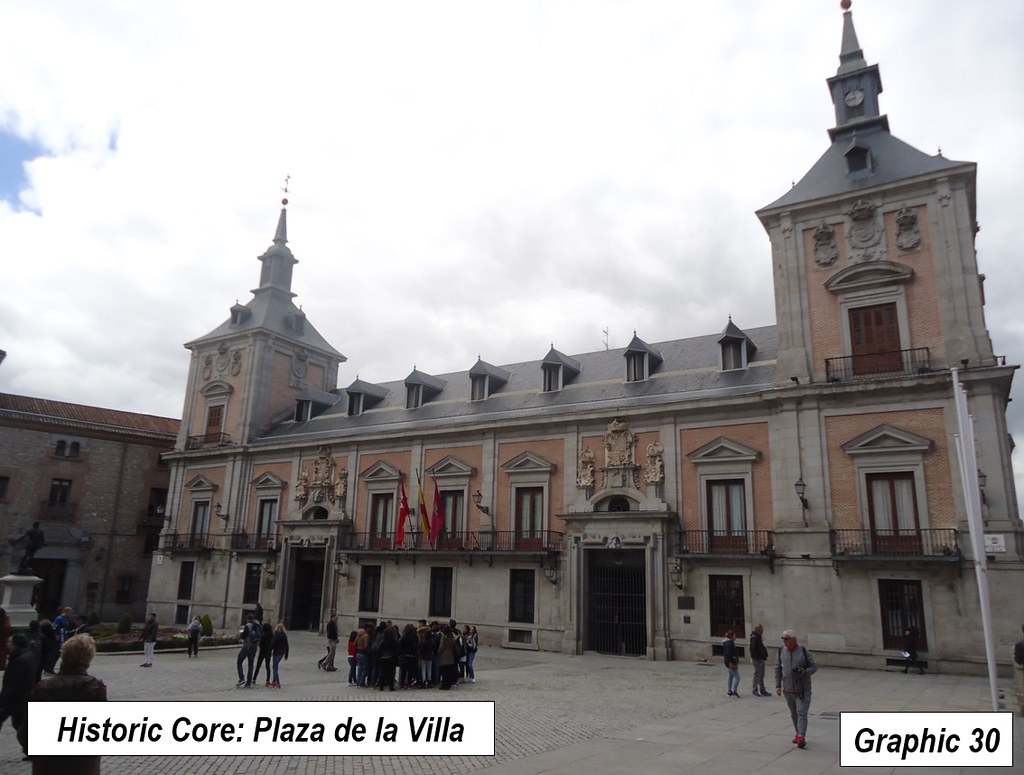
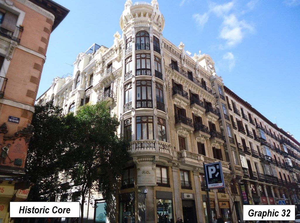
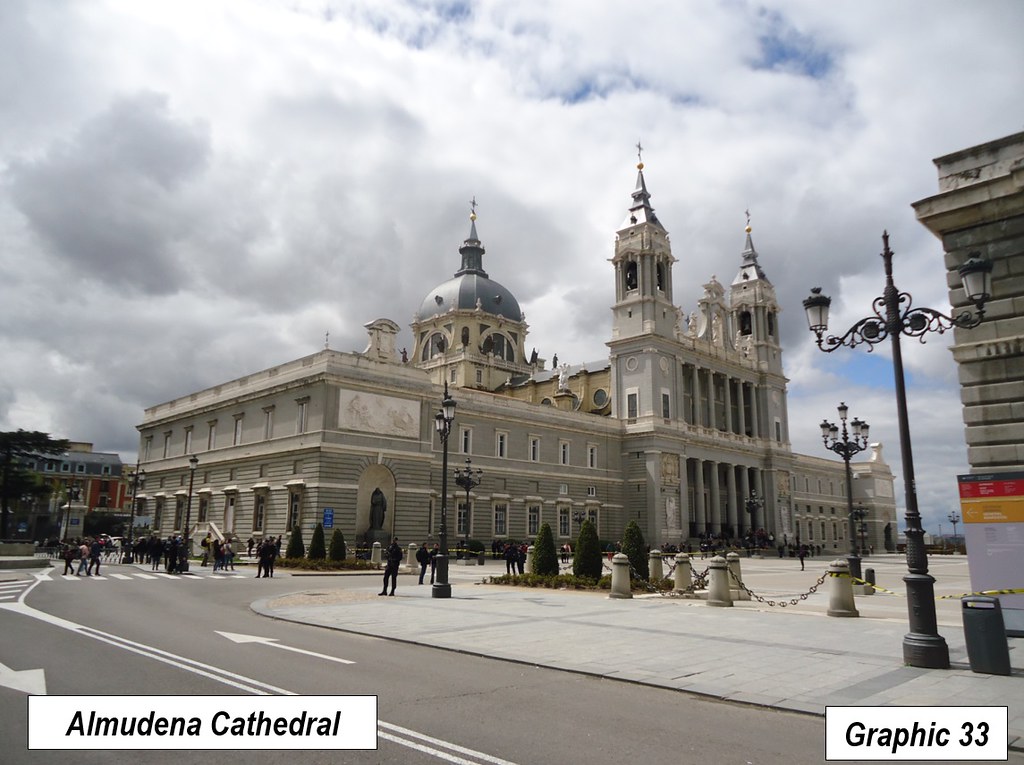
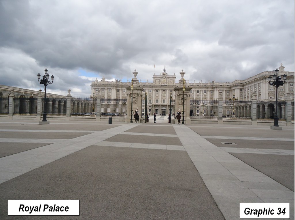
Madrid also has a large, much older, historic core, adjacent to the central business district, to which tourists flock (Graphics 27 to 32). The Royal Palace and Cathedral are nearby (Graphics 33 to 34)
Urban Motorways
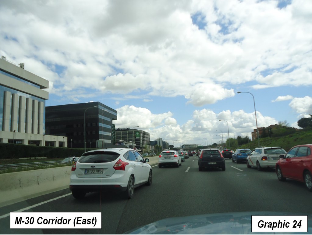
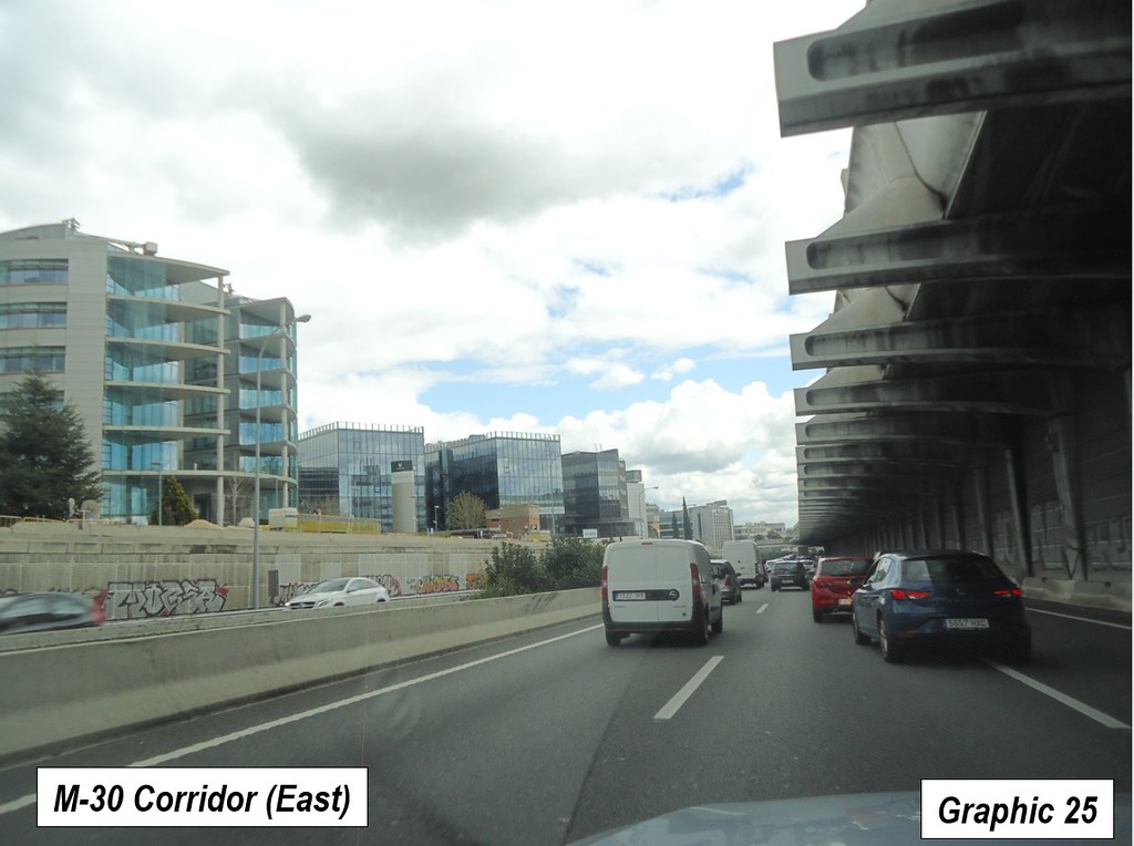
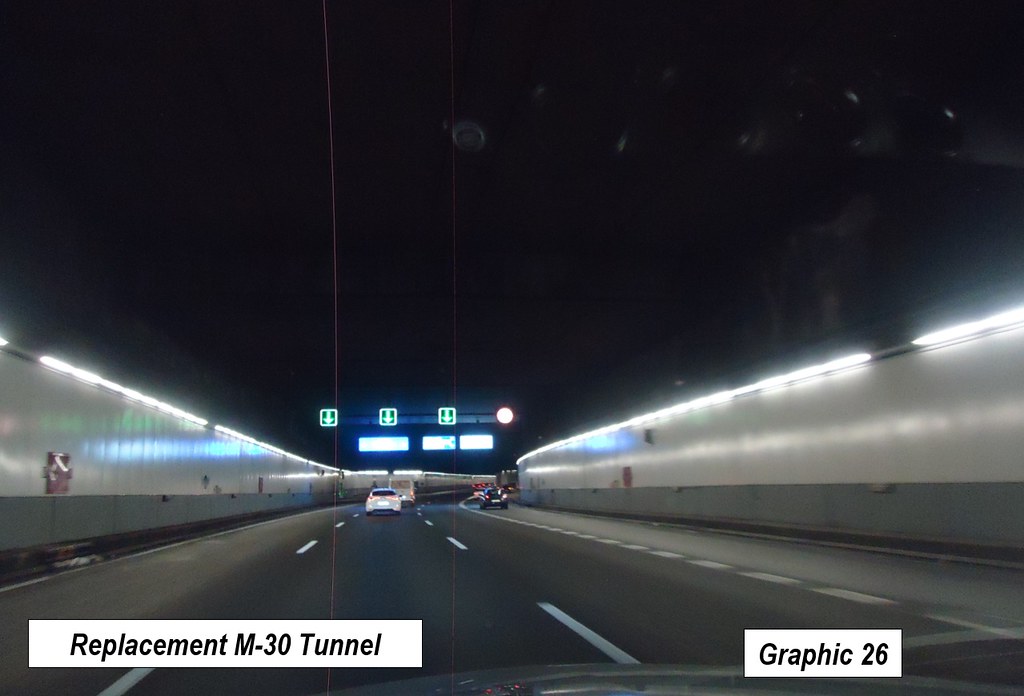
Madrid is particularly well served by urban freeways (motorways). The inner ring is formed by the M-30, which has become a magnet for commercial development, especially on its eastern section. One website (Gizmondo) features the M-30 in an article entitled “Six Freeway Removals That Changed Their Cities Forever,” though the freeway was not removed at all (See Note). The M-30 was simply placed underground, and is reportedly part of the longest urban motorway tunnel system in Europe (Graphic 24 to 26).
Overall, Madrid has four ring roads, including the M-30, the M-40, the M-45 and the M-50, though the M-45 and M-50 are incomplete. This is an impressive number, nearly equaling Beijing’s six virtually completed ring roads, the inner-most not a freeway.
Despite the extensive national toll road system, Madrid’s motorways (freeways) do not have tolls for motorists. Generally motorways are free within the major metropolitan areas of Spain, like in France.
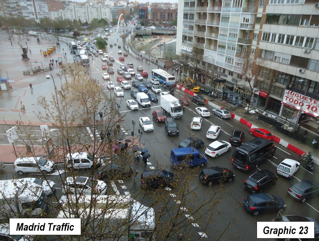
As is to be expected, traffic congestion can be severe in the city (Graphic 23).
Madrid’s Metro
Madrid is also served by an extensive Metro (grade separated urban rail, also called subway, elevated or underground) system. A 2015 article indicates that Madrid’s Metro is the seventh longest in the world (294 kilometers). It has the sixth largest number of stations (301). In each of these categories, Madrid has the smallest built-up urban area population among the top 10 in each of these categories. However, Madrid falls far short of reaching the top ten in ridership, with 584 million annual passengers, somewhat more than one-third of the 10th ranked Paris Metro. Like what has become a familiar pattern in the US, Madrid’s ridership fell by 100 million rides between 2008 and 2016 (15 percent).
High Residential Densities
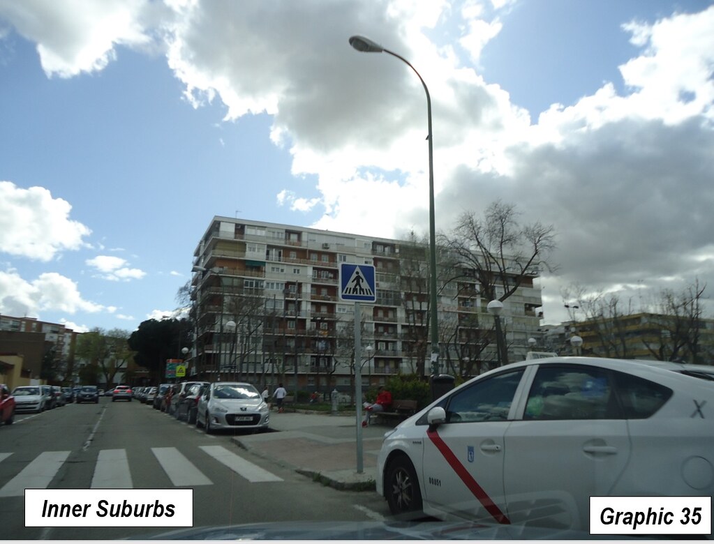
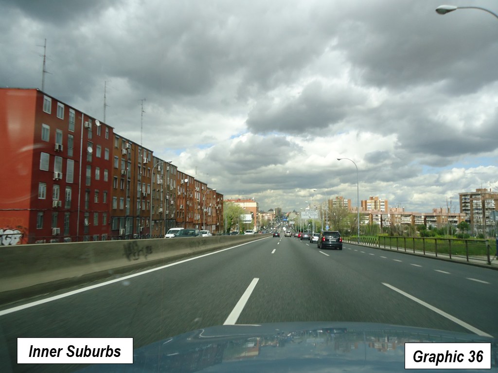
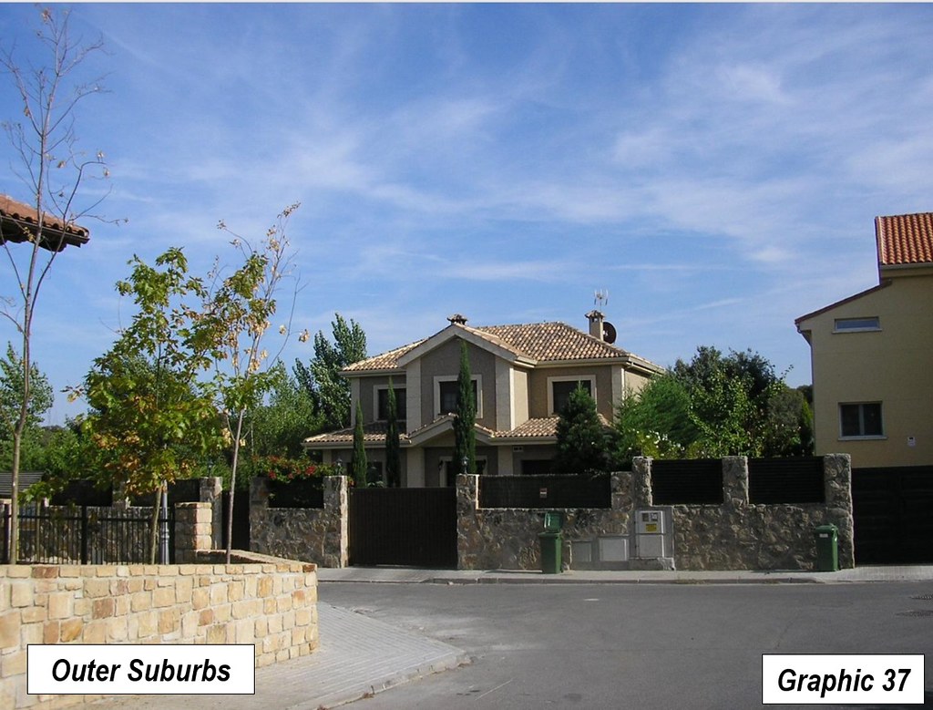
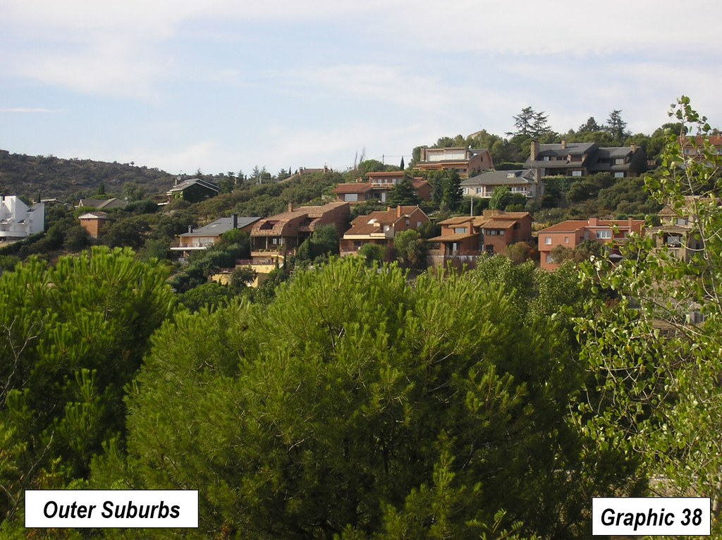
The high population density is evident not only in the city, but also the suburbs. Single-family dwellings and semi-attached houses (row houses or town houses) are fairly rare and found mostly in the affluent hills. Throughout the suburbs, housing is dominated by mid-rise tower blocks (Graphics 35 to 38).
Spain’s Economic Advance
Since becoming a democracy and entering the European Union Spain has made impressive progress. International Monetary Fund data indicates that since 1980 Spain’s gross domestic product per capita has risen 5 percent relative to Germany, 15 percent relative to France and 50 percent relative to Greece. With Ireland, Spain suffered more greatly in the Great Recession than most other European nations, though Ireland’s recovery has been stronger. Nonetheless, Spain is a much more prosperous nation than before.
Note on Freeway Removals: In the cited article, two of the six examples remain and have been (or are being) moved underground, the M-30 in Madrid and Alaskan Way in Seattle. A third, Harbor Drive in Portland, was replaced by the new Interstate 5 alignment on the other side of the Willamette River. Two others were stubs planned freeways that were not completed, the Embarcadero in San Francisco and the Park East in Milwaukee. This leaves a single case of a significant length of freeway among the six that has been removed without replacement, in Seoul.


Wendell Cox is principal of Demographia, an international public policy and demographics firm. He is a Senior Fellow of the Center for Opportunity Urbanism (US), Senior Fellow for Housing Affordability and Municipal Policy for the Frontier Centre for Public Policy (Canada), and a member of the Board of Advisors of the Center for Demographics and Policy at Chapman University (California). He is co-author of the "Demographia International Housing Affordability Survey" and author of "Demographia World Urban Areas" and "War on the Dream: How Anti-Sprawl Policy Threatens the Quality of Life." He was appointed to three terms on the Los Angeles County Transportation Commission, where he served with the leading city and county leadership as the only non-elected member. He served as a visiting professor at the Conservatoire National des Arts et Metiers, a national university in Paris.
Photograph: Cuarto Torres Business Area in Madrid with the AZCA Business Area to the left (with the leaning towers). This photograph is also used as Graphic 2.
Creative commons: https://commons.wikimedia.org/wiki/File:Cuatro_Torres_Business_Area.JPG


